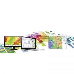
StormData™ Real-time, Future, and Historical Rainfall Data Services
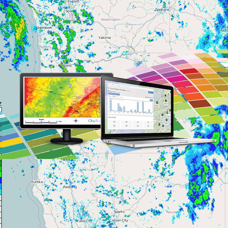
Gauge-Adjusted Radar Rainfall (GARR) marries rain gauge measurement at a point with the spatially distributed information from NEXRAD radars to give you ground truthed, spatially distributed rainfall information over your area of interest.
Accurate estimation of the spatial distribution of rainfall is critical to successfully model hydrologic processes. OneRain works with organizations across to U.S. to provide calibrated radar rainfall data to help characterize storm events or flow problems in collection systems, and as a basis for both real-time and design-oriented modeling. Real-time, future, historical rainfall data are used in Rainfall Runoff Modeling, Stormwater Modeling, Inflow/Infiltration, NPDES, Flood Warning, Design Storms, and TDML. OneRain also provides expert witness services for litigation cases that rest on understanding the rainfall at a particular place and time.
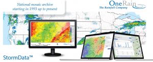
OneRain has precipitation records dating back from 1993 to the present.
Services we provide
- Real-time gauge-adjusted radar-rainfall data, basin-average rainfall and forecast rainfall
- End-of-month archive quality gauge adjusted radar rainfall
- Historical and post-event analysis using archived rainfall estimates
- Secure 24/7 Data Services
- Web delivered data
- StormProperties™ Analysis
- Mosaic of radars over your area
- Historical data from 1993 to present
- Multiple file delivery formats including delimited files, Excel spreadsheets, ArcView shape files, NetCDF, and more
- Innovative quality control procedures
- Quick turnaround for an analysis
OneRain uses an innovative approach to derive rainfall rates from each 1-km2 or 2-km2 radar pixel and calibrates these rates using rain gauge data to deliver ground-truthed rainfall estimates. StormData radar processing has evolved continuously since 1994 into the data quality management system required to produce archive quality data for flood warning, hydrology models for stormwater and sewer systems modeling, rainfall-dependent inflows/infiltrations (RDII) studies, litigation, real-time control, design storms and EPA National Pollutant Discharge Elimination System (NPDES) compliance activities.
Historical Radar Data Services
OneRain maintains one of, if not the most complete record of historical, nationwide radar archive in the United States. OneRain collects and stores this nationwide radar mosaic every five minutes. Historical records of the mosaics are maintained in OneRain’s nationwide radar archive:
• 2-km x 2km, 15-minute data from 1993 to the present
• 1-km x 1km, 5-minute data from 2002 to the present
| Questions? Our rainfall experts are focused on creating the best possible spatially distributed rainfall product. Talk to one of our professional experts today to learn more about how our products and services can help you. Call now! 1-800-758-RAIN toll free, or (303) 774-2033. |