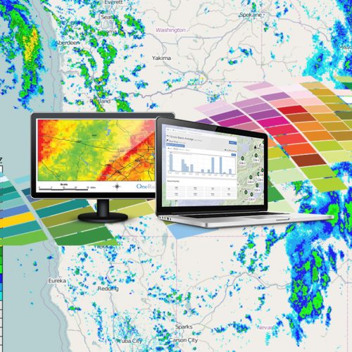
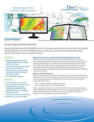
StormData™ Services
Mosaic of radars over your area
Complete coverage of the continental United States.
Historical data from 1993 to present
The most complete archive of radar data available.
Multiple file delivery formats
Delimited files, Excel spreadsheets, ArcView shape files, NetCDF, etc.
Need better rainfall data?
You’ve come to the right place.
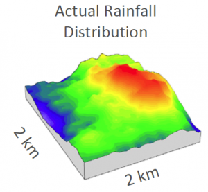
Accurate estimation of the spatial distribution of rainfall is critical to successfully model hydrologic processes. OneRain works with organizations across to U.S. to provide calibrated radar rainfall data to help characterize storm events or flow problems in collection systems, and as a basis for both real-time and design-oriented modeling.
Real-time, future, historical rainfall data are used in Rainfall Runoff Modeling, Stormwater Modeling, Inflow/Infiltration, NPDES, Flood Warning, Design Storms, and TDML. OneRain also provides expert witness services for litigation cases that rest on understanding the rainfall at a particular place and time.

OneRain’s professionally calibrated and contiguous set of StormData™ GARR can be georegistered and used for a variety of purposes. By combining rain gauge data with radar data, the spatial capability of the radar is enhanced by the quantitative accuracy of rain gauges.
Gauge-Adjusted Radar Rainfall
Gauge-Adjusted Radar Rainfall (GARR) marries rain gauge measurement at a point with the spatially distributed information from NEXRAD (WSR-88D) radars to give you ground-truthed, spatially distributed rainfall information over your area of interest.
By merging and professionally calibrating the two datasets, the result is Gauge-Adjusted Radar Rainfall data—a dataset that maintains volume accuracy at the gauge locations while retaining spatial information from the NEXRAD data.
Interested in learning more?
Our rainfall experts are focused on creating the best possible spatially distributed rainfall product. Talk to one of our professional rainfall analysts today to learn more about how our products and services can help you.
Recommended Reading
Visit our Library to review Radar Rainfall Technical & White Papers.
National Mosaic Archive Dating From 1993 Up to the Present
OneRain maintains one of, if not the most complete record of historical, nationwide radar archive in the U.S. OneRain collects and stores this radar mosaic every five minutes. Historical records of the mosaics are maintained in OneRain’s nationwide radar archive:
- 2-km x 2-km, 15-minute data from 1993 to present
- 1-km x 1-km, 5-minute data from 1998 to present
Our StormData radar processing has evolved continuously since 1994 into the data quality management system required to produce archive quality data for flood warning, hydrology models for stormwater and sewer systems modeling, rainfall-dependent inflows/infiltrations (RDII) studies and others.
If you are creating a hydrologic model that can significantly impact future development, don’t you want to have the best data available for the most important input into your model?
Historical Radar Data Services
We provide historical and post-event analysis using archived rainfall estimates. Multiple file delivery formats are available.
OneRain uses an innovative approach to derive rainfall rates from each 1-km2 or 2-km2 radar pixel and calibrates these rates using rain gauge data to deliver ground-truthed rainfall estimates.
Either supplied by the customer or procured by OneRain, local rain gauge data are used to calibrate radar-estimates for specific customer applications using a spatially distributed adjustment process. This process can correct different spatial and temporal errors concurrently over the area of interest.
StormProperties™ Analysis
Characterize Real-World Storms
A particularly valuable service is OneRain’s StormProperties Analysis. Using our data archive and StormData data quality management processes, OneRain has developed a technique to accurately characterize real-world storms that have been experienced since the inception of NEXRAD radar. StormProperties Analysis enables our clients with critical, rainfall-dependent missions to track real storm behaviors that must affect their future planning.
Rainfall Properties
Rainfall properties derived using StormProperties Analysis include depth area reduction factors (DARFs), spatial intensity distribution, statistical properties of storm cells with respect to their size, speed and direction, births and deaths of storms, orographic effects, seasonal changes in behavior, and more. The underlying TITAN statistics in which StormProperties Analysis is grounded can be used to calculate and characterize many attributes of value to a variety of uses.
Realistic Design Storms
A primary use of StormProperties Analysis is to create realistic design storms, in which the changes in intensity and the spatiotemporal distribution of rainfall used for modeling runoff reflect statistics that characterize real storms in real places.

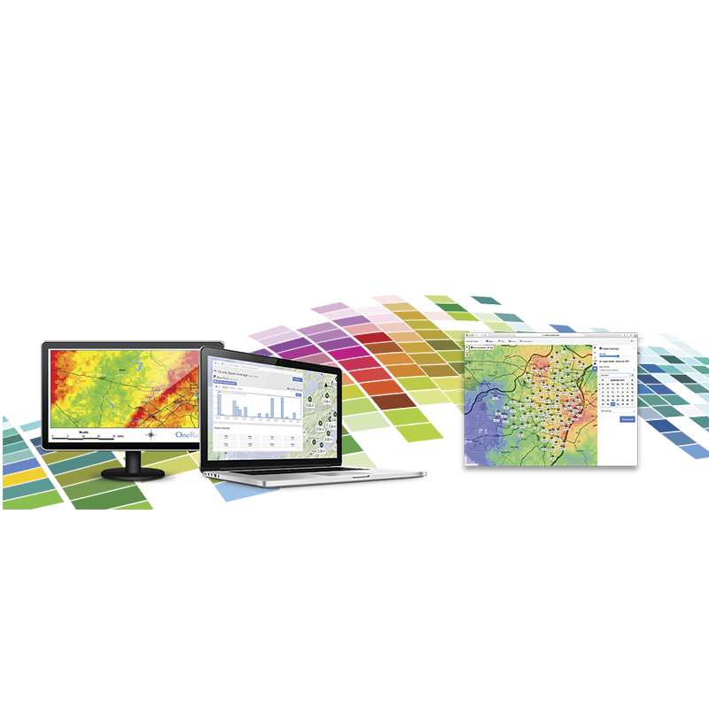
StormData™ Products and Professional Services
- Real-time Gauge-Adjusted Radar Rainfall (GARR) data
- Real-time basin-average rainfall
- Real-time forecast rainfall
- End-of-month archive quality Gauge-Adjusted Radar Rainfall data
- Professional historical and post-event analysis using archived rainfall estimates
- Web-delivered calibrated radar-rainfall data
- StormProperties™ Analysis and realistic Design Storms
Services We Provide
Real-time gauge-adjusted radar-rainfall data, basin-average rainfall and forecast rainfall
End-of-month archive quality gauge adjusted radar rainfall
Historical and post-event analysis using archived rainfall estimates
Secure 24/7 Data Services
Web delivered data
StormProperties™ Analysis
Products

StormData StormProperties Analysis