StormData™ Historical Gauge-Adjusted Radar Rainfall
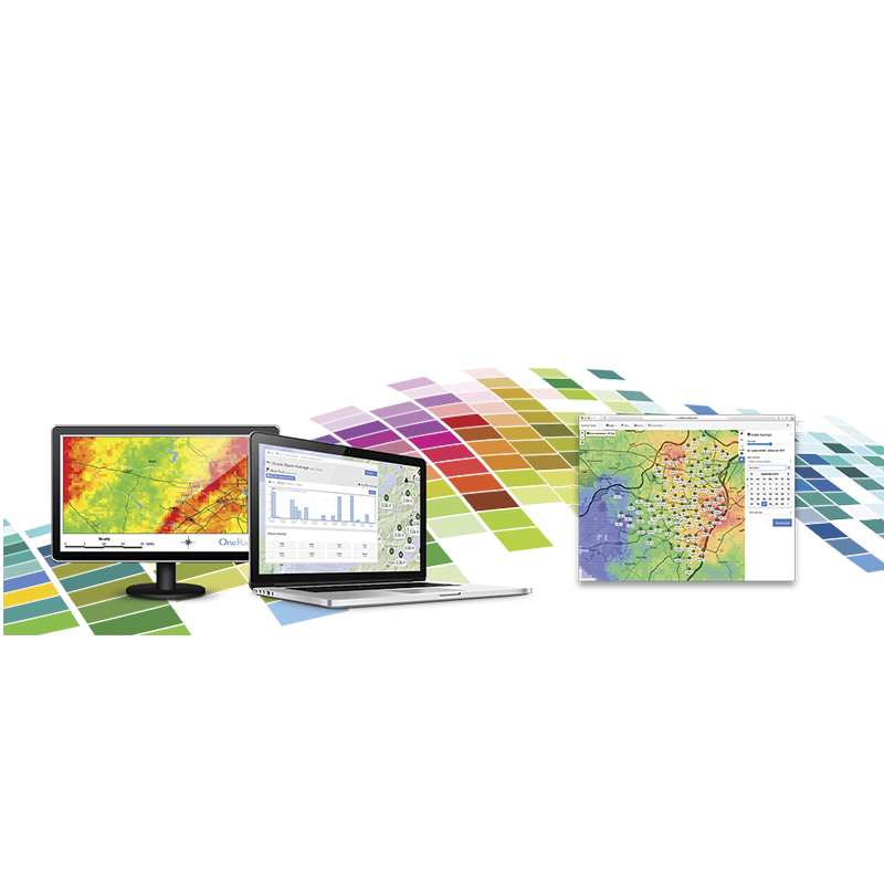
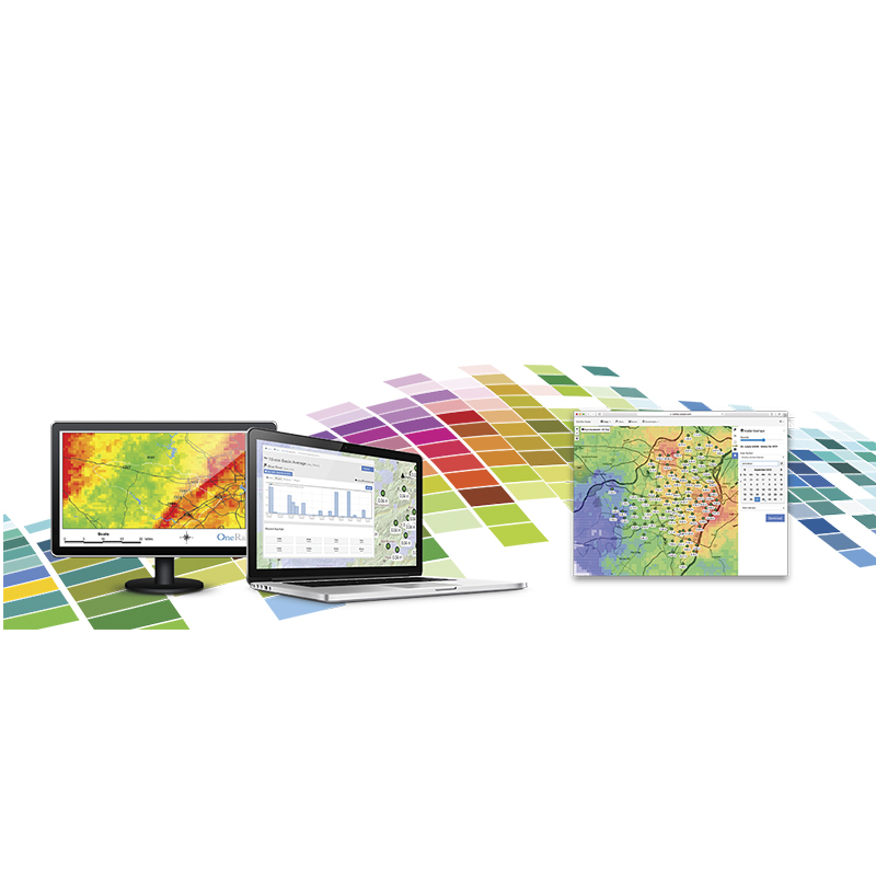
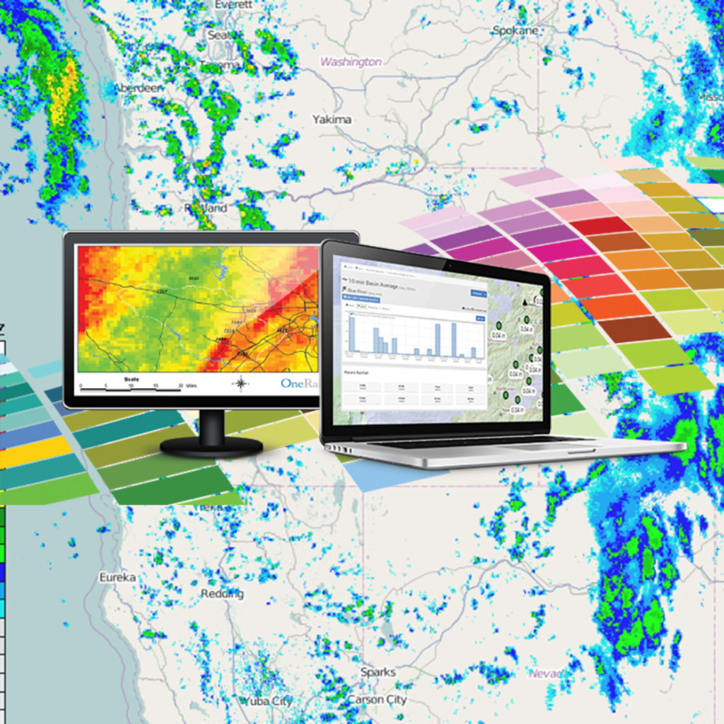
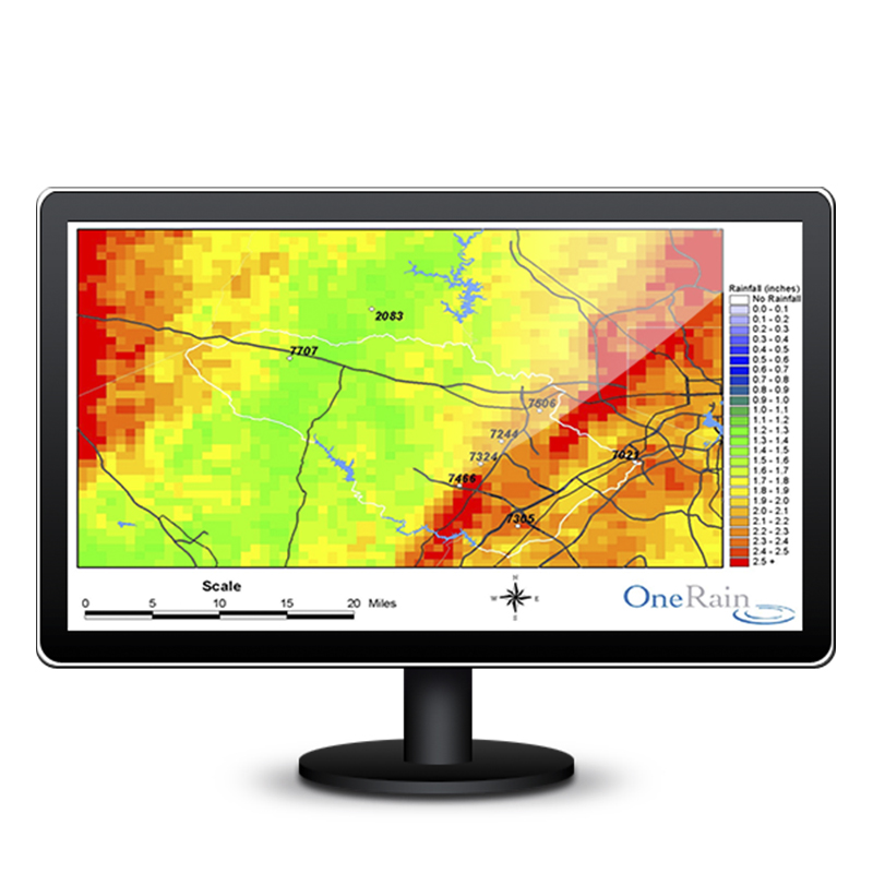
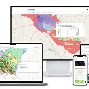
Gauge-Adjusted Radar Rainfall (GARR) marries rain gauge measurement at a point with the spatially distributed information from NEXRAD radars to give you ground truthed, spatially distributed rainfall information over your area of interest.
Accurate estimation of the spatial distribution of rainfall is critical to successfully model hydrologic processes. OneRain works with organizations across to U.S. to provide calibrated radar rainfall data to help characterize storm events or flow problems in collection systems, and as a basis for both real-time and design-oriented modeling. Real-time, future, historical rainfall data are used in Rainfall Runoff Modeling, Stormwater Modeling, Inflow/Infiltration, NPDES, Flood Warning, Design Storms, and TDML. OneRain also provides expert witness services for litigation cases that rest on understanding the rainfall at a particular place and time.
For each study period, the following deliverables are produced:
- Shape files that describe the radar pixel grid used for the study area, including rain totals for study period. This shape file is in the NAD 83 projection using decimal degrees.
- Zip file containing text files that map those pixel numbers to the time series rainfall estimates for the study period.
- Optional basin (or any defined areas) averaged data.
Optional Gold Report – A report summarizing the gauge-adjustment results. These reports include scatter-plots showing the gauge/radar correlations, rainfall accumulation plots comparing the gauges with both unadjusted and adjusted radar, and information on gauges removed from the analysis.
| Questions? Our rainfall experts are focused on creating the best possible spatially distributed rainfall product. Talk to one of our professional experts today to learn more about how our products and services can help you.Call now! 1-800-758-RAIN toll free, or (303) 774-2033. |
