")

AEM Elements® 360 – software for Road Weather (RWIS)
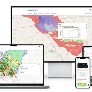
Maintenance and operations personnel are alerted to changing weather conditions in real time and can make timely and informed decisions. Customizable alerts and notifications are sent via e-mail, sms, text messages. The software is designed to be mobile ready—there’s no special “app” required for your smart phone, tablet, or other mobile device. Users and administrators have anytime, anywhere, 24/7 secure access to view and manage data from any desktop or mobile device via a standard web browser.
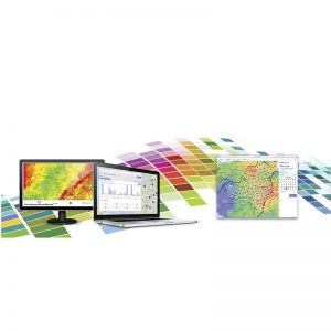
The software provides up-to-the-minute visualization of current conditions with data shown in easy-to-understand maps, real-time dashboards and widgets, charts, graphs, and tables. High-resolution, pan-and-zoom maps clearly locate sensors, cameras, mobile RWIS devices, and their status, while Map Overlays allows the integration of GIS layers and radar for forecasting and storm tracking.