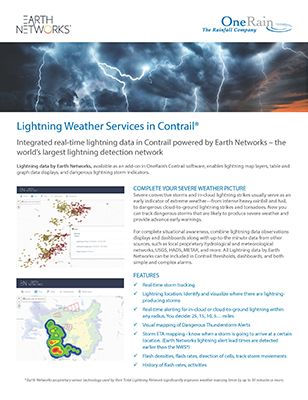
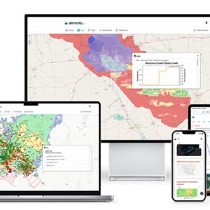
Integrated real-time lightning data in Contrail powered by Earth Networks – the world’s largest lightning detection network.
FEATURES
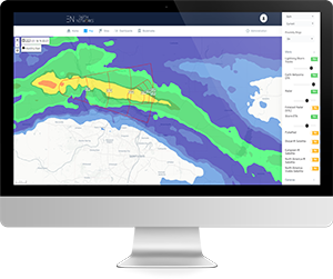
- Real-time storm tracking
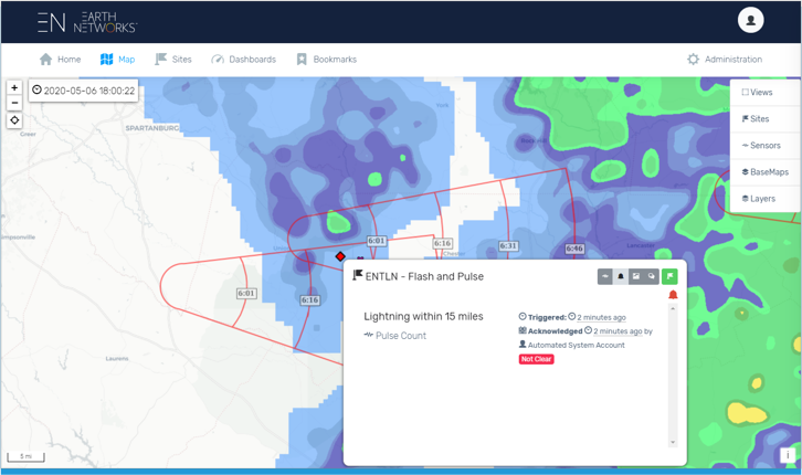
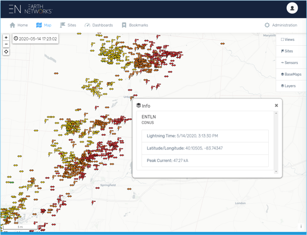
- Lightning location. Identify and visualize where there are lightning-producing storms
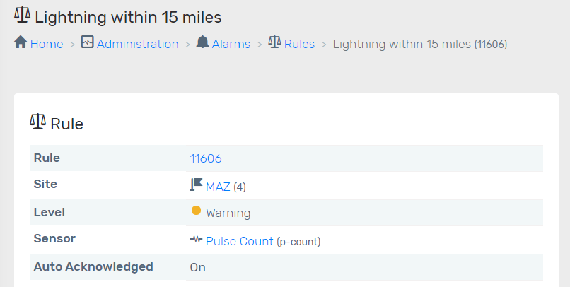
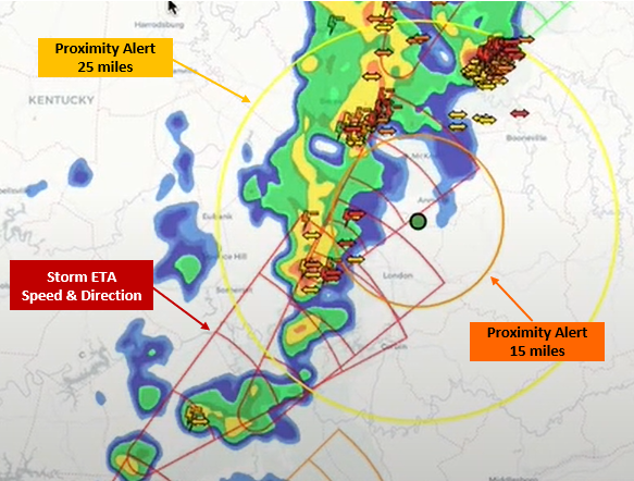
- Real-time alerting for in-cloud or cloud-to-ground lightning within any radius. You decide: 25, 15, 10, 5… miles
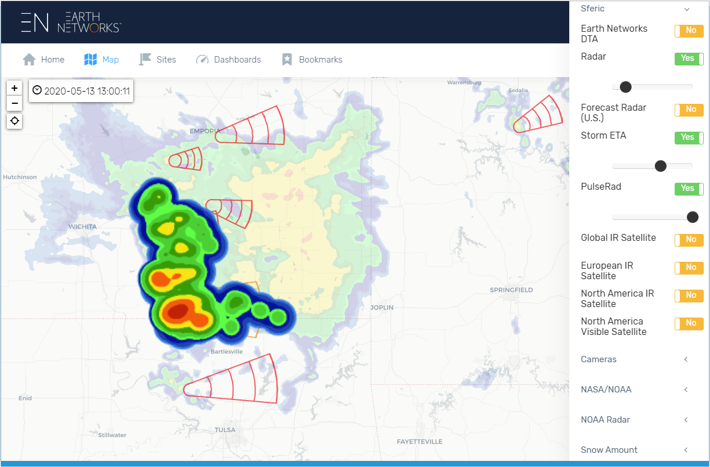
- Visual mapping of Dangerous Thunderstorm Alerts
- Storm ETA mapping – know when a storm is going to arrive at a certain location. (Earth Networks lightning alert lead times are detected earlier than the NWS*)
- Flash densities, flash rates, direction of cells, track storm movements
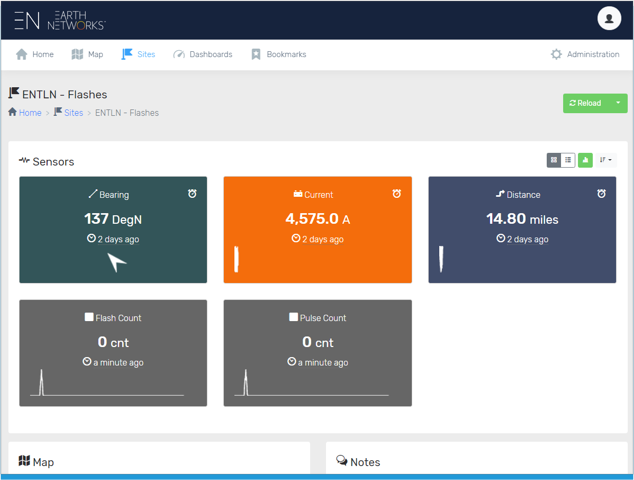
- History of flash rates, activities
 Severe convective storms and in-cloud lightning usually serve as an early indicator of extreme weather — from intense heavy rainfall and hail, to dangerous cloud-to-ground lightning strikes and tornadoes. Now you can track dangerous storms that are likely to produce severe weather and provide advance early warnings.
* Earth Networks proprietary sensor technology used by their Total Lightning Network significantly improves weather warning times by up to 30 minutes or more.
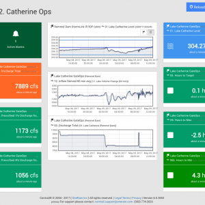
For complete situational awareness and multi-hazard warning, combine lightning data observations displays and dashboards along with up-to-the-minute data from other sources, such as local proprietary hydrological and meteorological networks, USGS, HADS, METAR, and more. All Lightning data by Earth Networks can be included in Contrail thresholds, dashboards, and both simple and complex alarms.
OneRain and Earth Networks are brands of AEM – a family of innovators focused on monitoring critical environmental parameters.
