What’s New? A New View: Cameras, Image Collection, and Artificial Intelligence
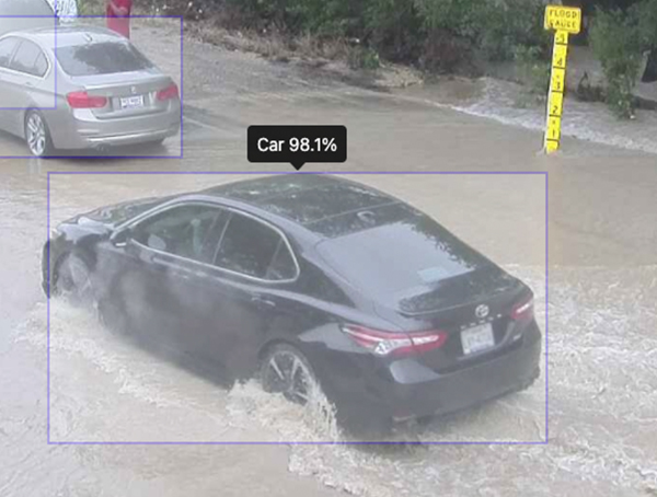
This month we introduced lots of new and innovative features in Contrail® Camera. Environmental hazards present a unique challenge to decision makers as they not only must confirm the conditions as quickly as possible, but as accurately as possible. Contrail Camera creates a more complete view of conditions for complete situational awareness.
Contrail Camera – Vision License
The newest functionality: utilizing machine learning object detection to analyze images and alert on predefined criteria, allows for a complete view of both your data and your field-generated images. With the Vision license, users can turn on a machine learning model that has predefined tags for each camera location. The system will then detect objects in each image, including person, cars, trucks, etc. Contrail Enterprise users can create custom Alerts and Notifications based on AI-detected objects. These capabilities are incredibly useful for camera applications where you need to know if a car has driven into a flooded roadway, or a person is walking on a dam where they shouldn’t be, for example.
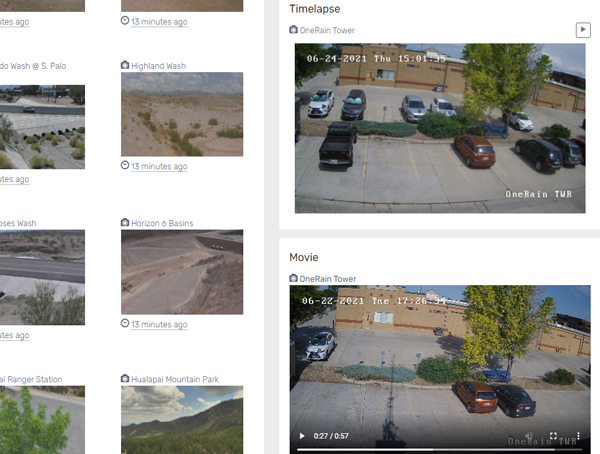
New Contrail Camera Widgets
We added two new Contrail Camera Widgets that bring additional integrated functionality into Contrail Enterprise:
– Contrail Camera Timelapse Widget
– Contrail Camera Movie Widget
Administrators can select Timelapse period – e.g., 2 hours, 4 hours, up to 24 hours. For the Movie Widget, select the latest daily, for example. You can easily create Dashboards in Contrail to display these Widgets next to your Site and Sensor data.
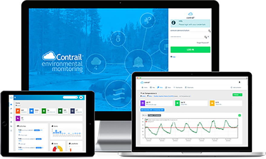
About Contrail
Contrail is the leading enterprise-level software platform that collects, processes and delivers real-time environmental sensor data from local hydrometeorological networks and other external sources for Web-based dissemination, visualization, monitoring and automated alerting. The software provides critical information to help users understand and manage their environmental monitoring-related missions—from flood and road weather safety, to dams, stormwater, wastewater and water resource management—and is key to effective situational awareness and timely decision-making.
Sign up to keep up to date with our product announcements, training, webinars, company news and more