Visualize, monitor, and alert on critical seismic events in Contrail
New Earthquake Data Services in Contrail coupled with hydrologic and meteorologic data provides users with a complete view of environmental risks such as flooding and seismic hazards in one place.
The effects of seismic activity on critical infrastructure such as dams, levees, bridges, water and waste water utilities, can cause physical and functional damage, increase the risk of failure, or reduce operational performance. With increasing population growth in earthquake-prone regions as well as the vulnerability of older infrastructure, risk management best practices requires operators to promptly conduct post-event inspections and evaluation of vulnerable sites and structures.
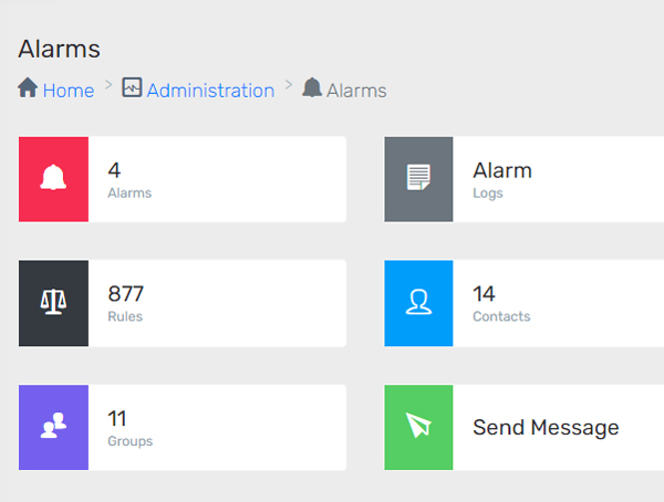
Automate Inspection Alerts
The new fully integrated Earthquake Data Services add-on in Contrail provides users with a complete operational picture of the risks to help make informed decisions. Operators have the ability to respond promptly. Users can target specific sites of interest and create custom alerts and notifications to fit their operational needs.
HIGHLIGHTS
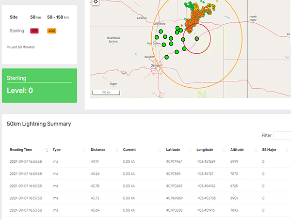
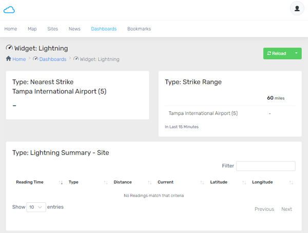
- Targeted points of interest with custom Magnitude/Distance lookup table filtering
- 24×7 monitoring with custom alarms, and notifications via sms, text, and email
- Earthquake calculations and visualization with custom dashboards, tables, charts, and map layers
- Documentation and archive of critical seismic events
- Integration with EAPs (Emergency Action Plans) and other environmental data
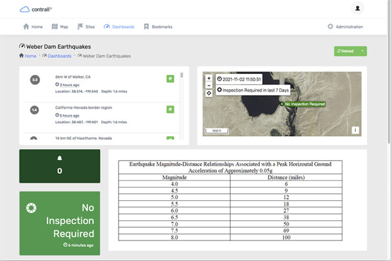
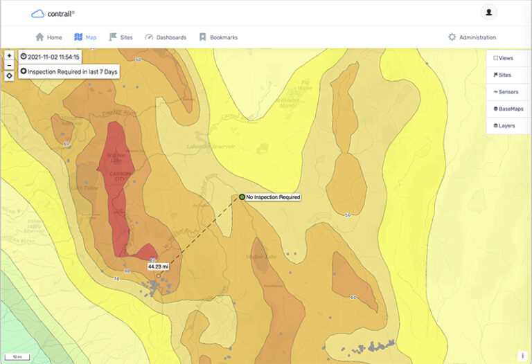
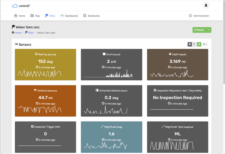
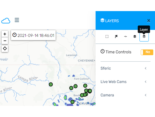
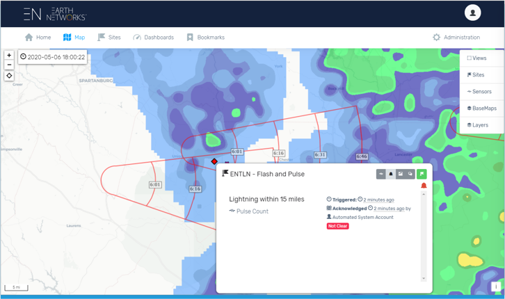
Example of a Dam Safety Program where seismic activity is monitored. Automated alerts for “Inspection Required” can be based upon specific Magnitude/Distance.
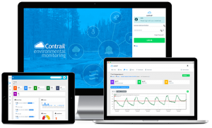
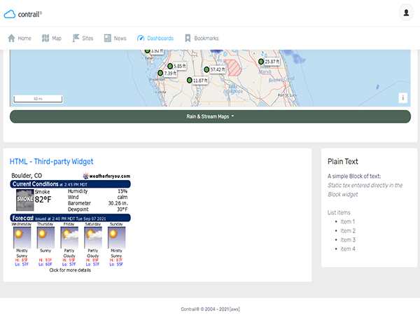
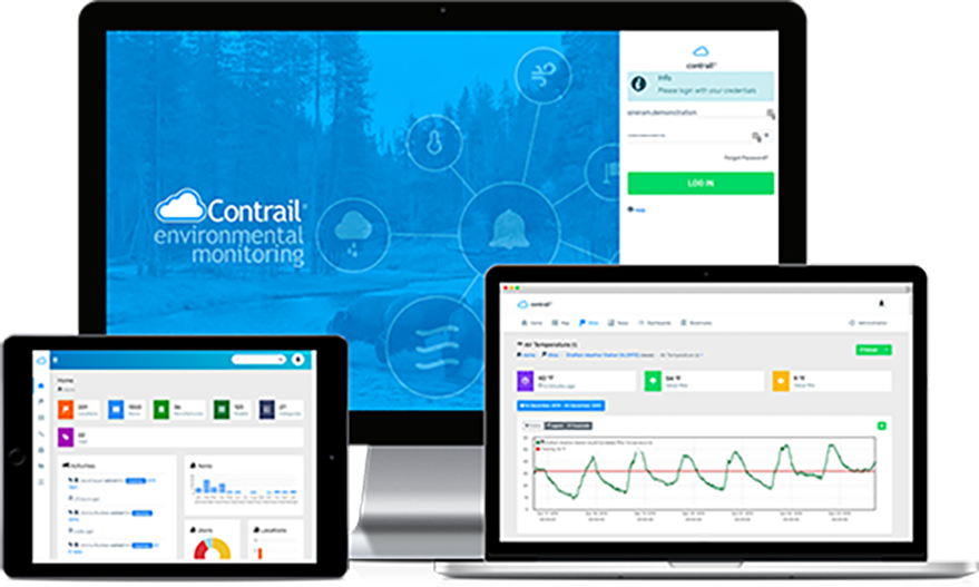
Contrail is the leading enterprise-level software platform that collects, processes and delivers real-time environmental sensor data from local hydro-meteorological networks and other external sources for Web-based dissemination, visualization, monitoring and automated alerting. The software provides critical information to help users understand and manage their environmental monitoring-related missions—from flood and road weather safety, to dams, stormwater, wastewater and water resource management—and is key to effective situational awareness and timely decision-making.
Sign up to keep up to date with our product announcements, training, webinars, company news and more.
____________________
About OneRain Incorporated
OneRain is part of AEM – a family of innovators focused on monitoring critical environmental parameters.
Since 1992, OneRain has been providing solutions that optimize water management, heighten regulatory compliance, achieve successful civil works, and save lives. Headquartered in Longmont, Colorado, OneRain’s expertise encompasses the best environmental monitoring and water-related software and technologies, from gauging, telemetry, and remote sensing, to visualization, analysis, notification, and control. OneRain specializes in Flood Warning, Dam & Levee Safety, Reservoir Operations, Road Weather, Post-Wildfire, Irrigation and Drought Monitoring, serving local, state, and federal government agencies across the United States and around the world.