Track and alert on critical seismic events in Contrail®
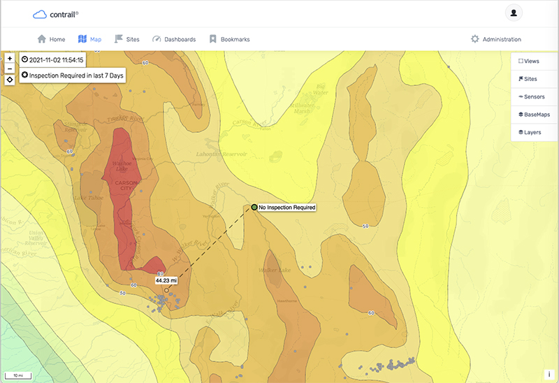
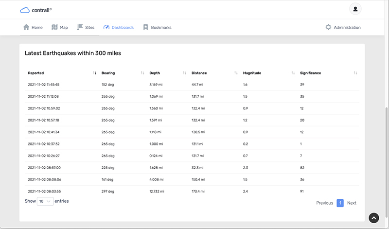
Earthquake Data Services, available as an add-on in Contrail software, enables system administrators and designated users to be notified when there is reported seismic hazard activity near critical infrastructure points of interest. Users can choose to filter activity based on distance, direction, and depth of earthquakes in their specific region and trigger risk evaluation action alerts when needed.
Use Earthquake Data Services in Contrail to document seismic activity for predefined distances and severity relative to each critical infrastructure point. This can reduce the need for guesswork and delivers actionable information promptly.
Earthquake Data Services in Contrail coupled with hydrologic and meteorologic data provides the complete view of environmental risks for your critical infrastructure.
Get a complete operational picture of environmental risks
- Targeted Filtering and Drill-down to the Important Data
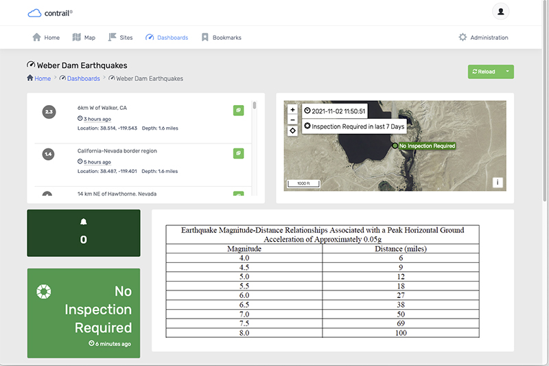
Upload your own Distance/Magnitude relationship table for each point. Save time by only focusing on the seismic activity that matters to you with custom Magnitude/Distance targeted filtering for each infrastructure point. - Automate Inspection Alerts
Custom alarming can be triggered by earthquake lookup table. Automatically trigger customizable inspection and evaluation alarms to alert appropriate personnel with administrator acknowledgment and escalation processes. Send additional and different alarm notifications to operators and downstream stakeholders. - Store and Analyze Significant Events
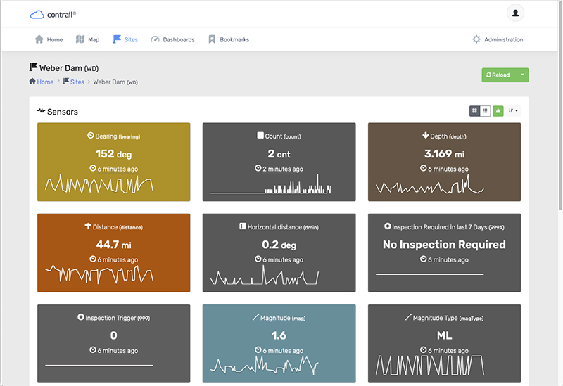
“Inspection required” sensors document all critical seismic events. Run analytics on these events to understand recurrence interval and frequency amount. Download events for easy reporting.
