Here’s a summary of just some of the latest software updates and enhancements in Contrail that we thought you’d like to hear about.
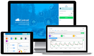
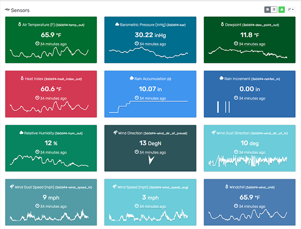
New Data Agent: Davis Instruments WeatherLink
Got Davis Weather Stations in your region? Whether you own a Davis Weather Station or know of other Stations in your area, you can now bring in data, display, and alarm on Davis sensors in Contrail. Contact us for more information.
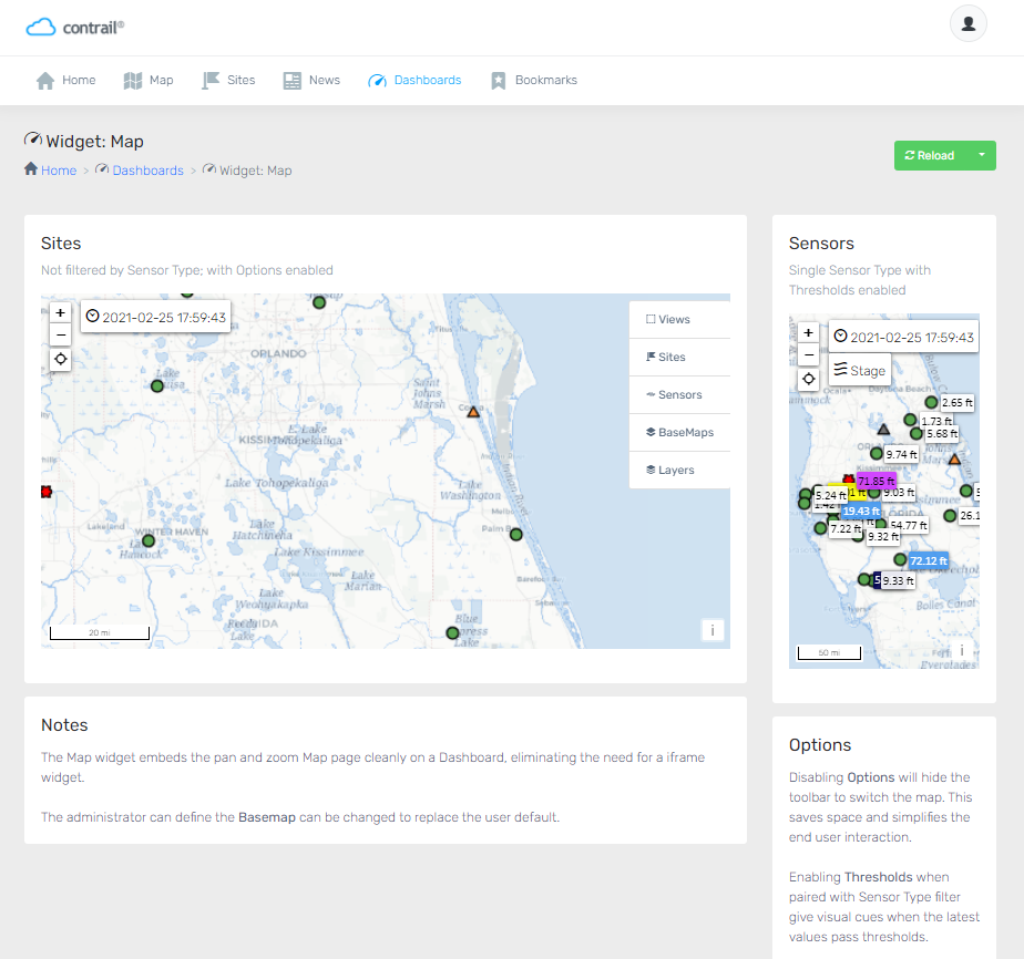
New Map Widget
A new easy option when you’re building Dashboards in Contrail. The Map widget embeds the pan and zoom Map page cleanly on a Dashboard, eliminating the need for a iframe widget. Administrators can choose and control which Basemap should be displayed so that it replaces the user’s default.
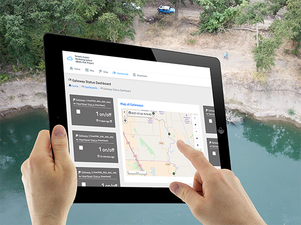
Integration with High Sierra Electronics’ new Remote Erosion Monitoring System
Just launched! Contrail is the data collection and monitoring platform for High Sierra Electronics’ new Remote Erosion Monitoring System (REMS) for earthen levees and dams.
New Add-on: Lightning Weather Services
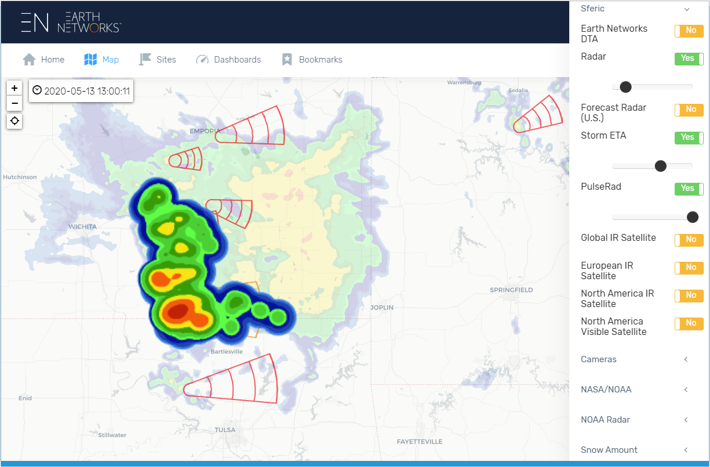
Now you can complete your severe weather picture! This new add-on module in Contrail enables multi-hazard alerts, lightning map layers, table and graph data displays, dangerous lightning storm indicators, and more, with integrated lightning data from Earth Networks.
OneRain is proud to be part of the AEM family of innovators.
About Contrail
Contrail is the leading enterprise-level software platform that collects, processes and delivers real-time environmental sensor data from local hydrometeorological networks and other external sources for Web-based dissemination, visualization, monitoring and automated alerting. The software provides critical information to help users understand and manage their environmental monitoring-related missions—from flood and road weather safety, to dams, stormwater, wastewater and water resource management—and is key to effective situational awareness and timely decision-making.
Sign up to keep up to date with our product announcements, training, webinars, company news and more