Introducing Lightning Weather Services in Contrail®

Introducing Lightning Weather Services in Contrail


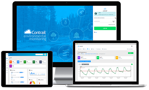
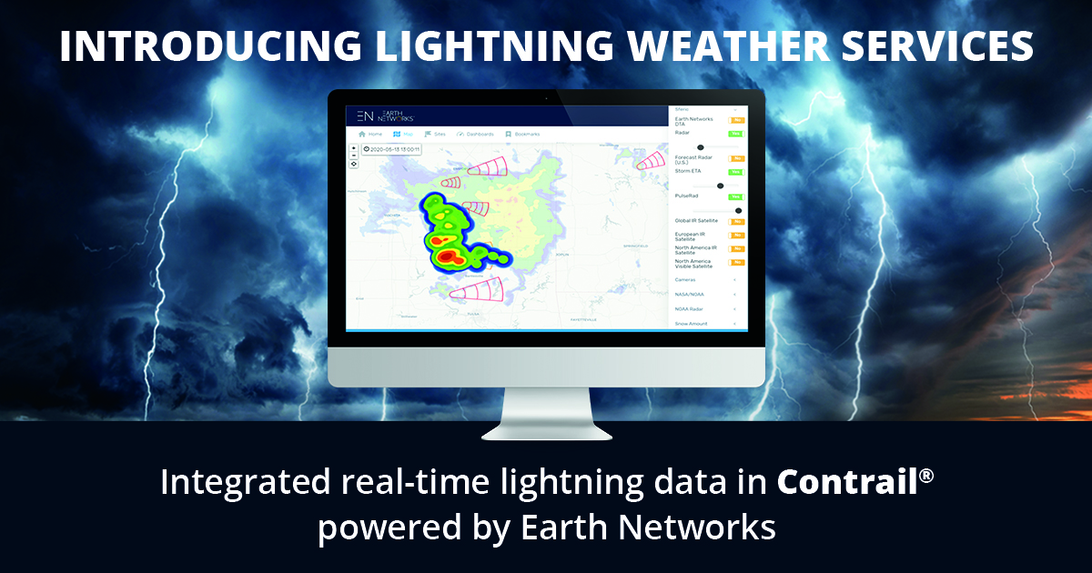
Longmont, CO, January 26, 2021 — In partnership with their sister company, Earth Networks, OneRain Incorporated is pleased to announce the availability of Lightning Weather Services in their flagship environmental monitoring software, Contrail®.

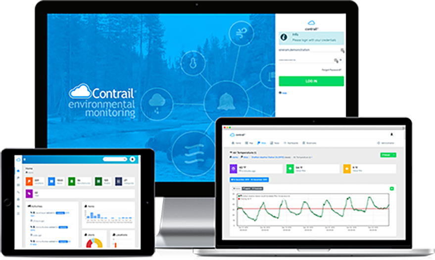
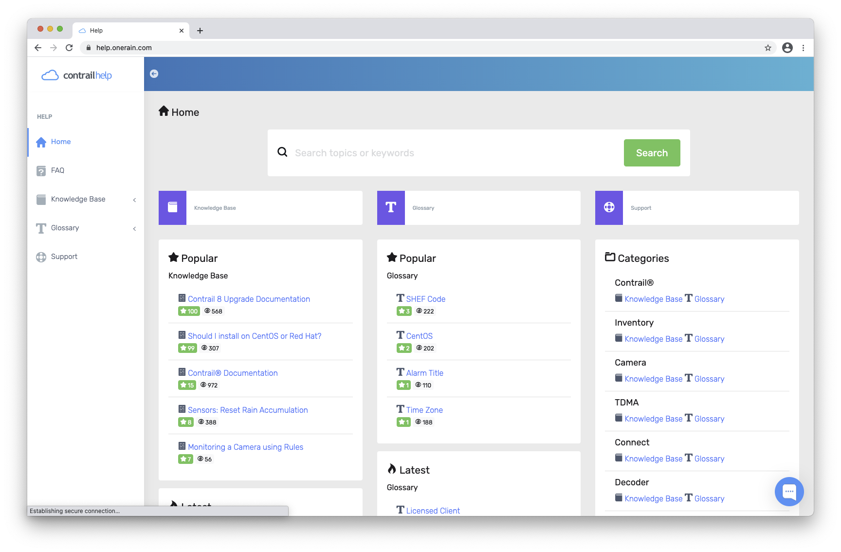
The new add-on functionality in Contrail facilitates storm tracking and the dissemination of custom alerts and automated early warnings for lightning alongside other meteorological and hydrological conditions. The Lightning Weather Services can identify, track, and warn about thunderstorms miles and hours away.

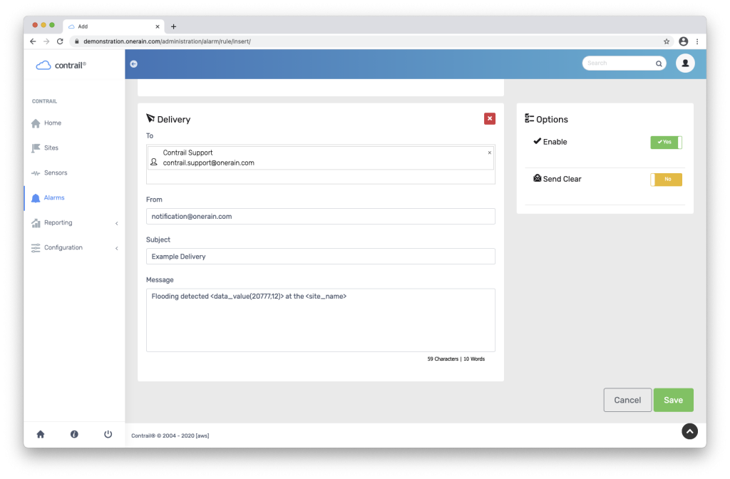
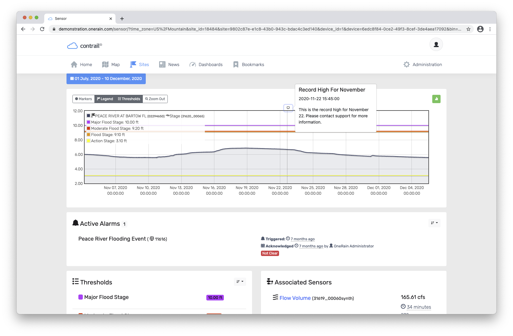
Multi-hazard early warning is possible. Dangerous lightning storms may produce heavy rainfall that triggers flash flooding and rising water levels. With the new integrated Lightning Weather Services in Contrail and the ability to include and visualize sensor data alerts from other environmental monitoring networks, public safety and emergency management officials can quickly make informed decisions and respond proactively to help keep the public aware and out of harm’s way.

“It’s another step in our mission to help keep people safe and protect property from severe weather, hydrologic flood risks, wildfire potential, and other weather-related hazards,” said OneRain’s general manager, Mike Zucosky.

Display showing EN Total Lightning Network in Contrail
OneRain’s Contrail software map display showing integrated Earth Networks Total Lightning Network (ENTLN)

Unified Monitoring Enables Multi-hazard Early Warning
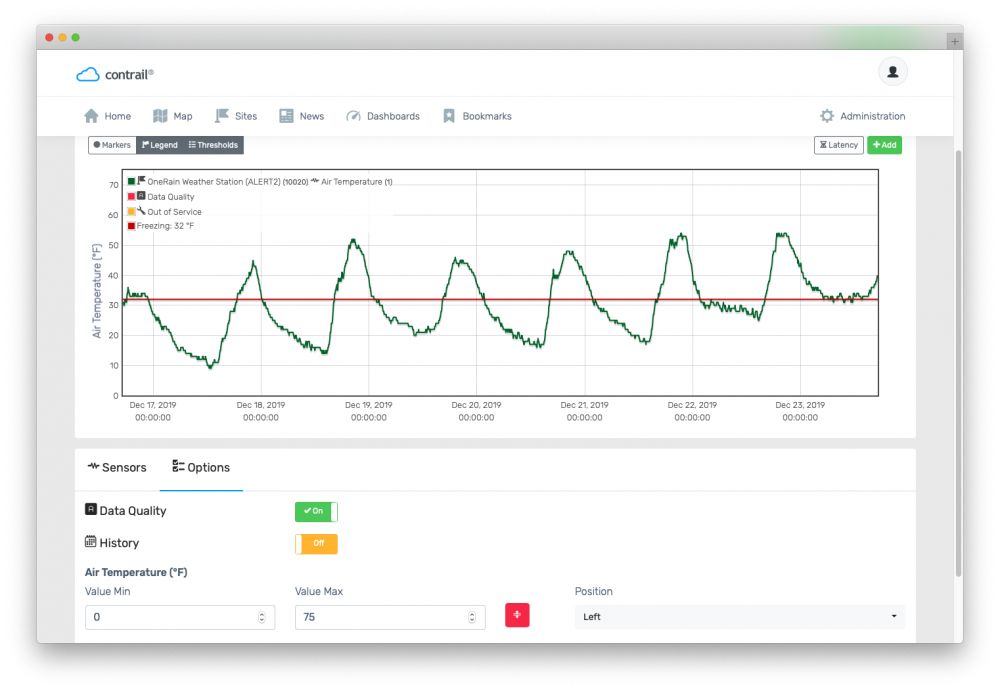
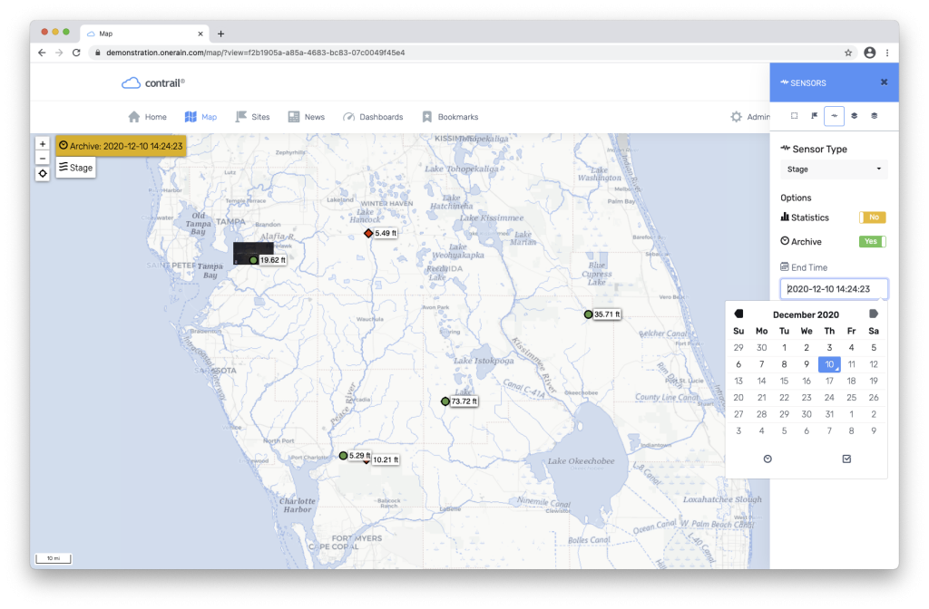
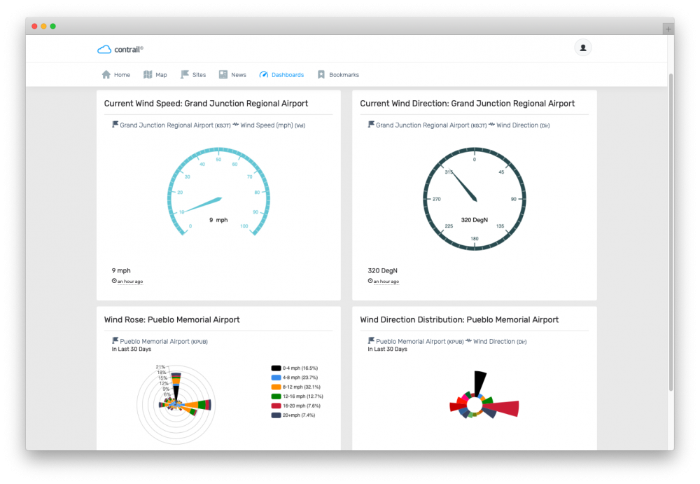
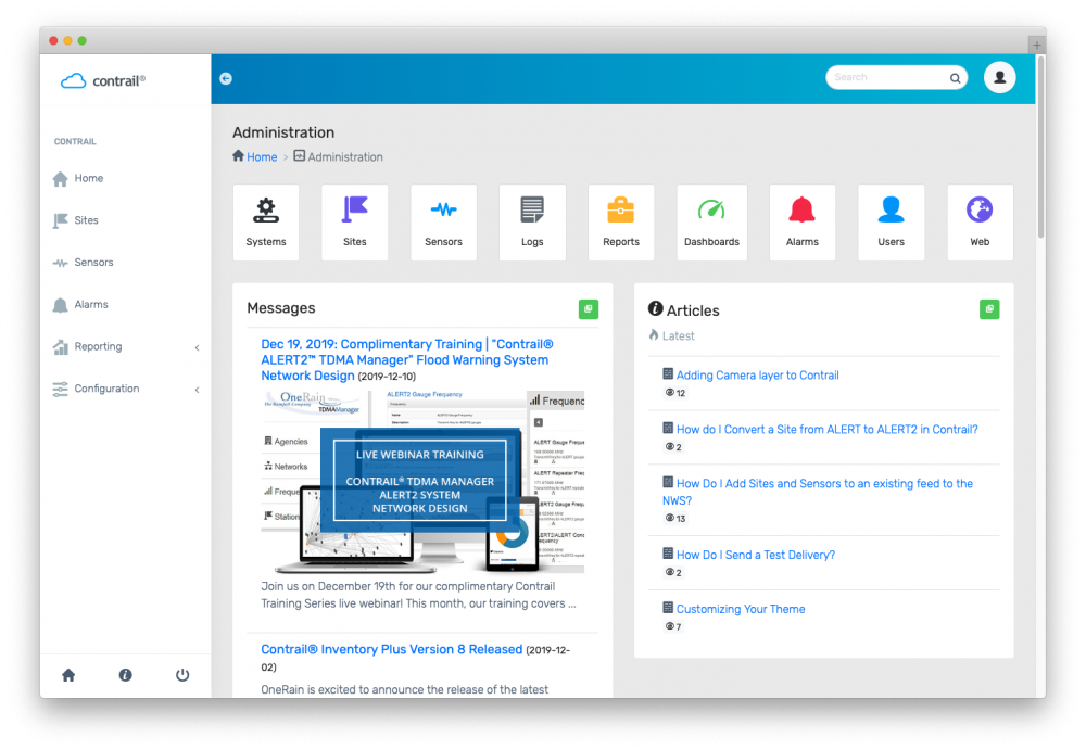
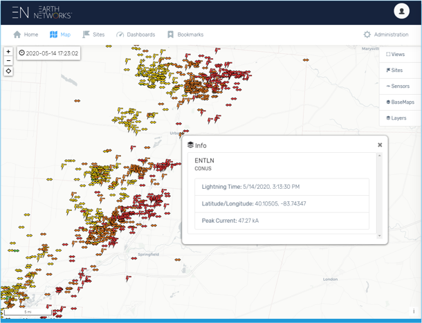
As part of a unified monitoring system, which continuously collects and disseminates real-time rainfall, streamflow, water level, and other hydrometeorological data for alerting and warning, Contrail users benefit from additional map layers and sensor data from Earth Networks Total Lightning Network for making timely and well-informed decisions. Aggregated data from multiple sensor sources broadens real visibility and situational awareness.

Earth Networks proprietary sensor technology used by their global Total Lightning Network, detects both in-cloud and cloud-to-ground strikes and significantly improves severe weather warning times by up to 30 minutes or more. A recently released Earth Networks 2020 U.S. Lightning Report shows a total of 441,211,344 total lightning pulses were detected in the continental U.S. during 2020. According to the report, Texas led all states in the total number of pulses at more than 63.6 million. Then Florida, Oklahoma, and Kansas.

To learn more or request information about Lightning Weather Services in Contrail, contact OneRain Incorporated.


_____________________

OneRain and Earth Networks are part of Advanced Environmental Monitoring – a family of innovators focused on monitoring critical environmental parameters. Learn more at aemonitoring.com

About OneRain Incorporated

Since 1992, OneRain has been providing solutions that optimize water management, heighten regulatory compliance, achieve successful civil works, and save lives. Headquartered in Longmont, Colorado, OneRain’s expertise encompasses the best environmental monitoring and water-related software and technologies, from gauging, telemetry, and remote sensing, to visualization, analysis, notification, and control. OneRain specializes in Flood Warning, Dam & Levee Safety, Reservoir Operations, Road Weather, Post-Wildfire, Irrigation and Drought Monitoring, serving local, state, and federal government agencies across the United States and around the world. For more information, visit onerain.com or call 800-758-RAIN (7246).


About Earth Networks

Earth Networks helps organizations mitigate financial, operational and human risk by providing environmental intelligence from the world’s largest hyperlocal weather network. Schools, airports, sports teams, utilities and government agencies rely on our early warning solutions to safeguard lives, prepare for weather events and optimize operations. Companies across all industries use our weather data to automate decisions regarding risk management, business continuity, and asset protection. For more information, visit earthnetworks.com or call 877-882-1397.

Contrail Software Updates in 2020 – A Year in Review

While 2020 has brought many challenges and changes in the way we all work—what hasn’t changed is OneRain’s mission and commitment to the clients we serve.

Since January 2020, when OneRain first announced a major new software release and upgrade for our environmental monitoring Contrail® software suite, OneRain’s team of developers has been working hard all year to bring you a host of new features, functionality, and enhancements in our next generation Contrail® 8 platform. Upgrading to Contrail 8 was a big and important step for our customers. It means new capabilities, enhanced security, new features, add-ons, resources, and so much more.

While it’s been an unprecedented and challenging year, 2020 has been action-packed for us here at OneRain. In this article, we take a look back at the top Contrail 8 releases of 2020. And, as we look forward to 2021, we continue to be at the forefront of developing and innovating exciting new products and technologies to support the ever-changing needs of our real-time environmental monitoring clients. 

Contrail® 8 Update

As of December 7, 2020, OneRain is happy to announce that all versions of Contrail running around the world have been upgraded from Contrail 6 to the latest Contrail 8 version. The upgrade sets our partner agencies up for a sustainable software environment for years to come and is included in the annual support and maintenance of Contrail. In addition to updates in security, the upgrade includes a new modern front-end framework and updated visualization that optimizes for mobile devices.

Contrail software for environmental monitoring

Contrail New Features Added in 2020

Graphing

New graphing enhancements were added including historical comparison mode, data quality values, and axis configuration options. The historical comparison mode allows users to compare a time series to another while overlaid on the same graph and x axis. For example, a user could compare May 2020’s data to the previous May’s data, enabling the user to see trends in the data and respond accordingly. In addition, the user is also able to configure the axes to meet their needs, instead of defaulting to auto scaling the axes. 

Contrail Graphing Features

Map

The map module also received more data-centric features, including map statics, historical data, and camera image visualization. Once a sensor has been selected, new toggles appear allowing the user to show data statistics and historical data instead of the current data values. The statics section will show the average, minimum, and maximum of the sensor data selected over selectable time ranges. For example, the user is able to quickly see important summary information for maximum water level or temperature over that time range. In addition, the user can also go into historical mode, and view data on the map from a previous date and time. This feature is great to replay an event across the area.

Alarms

One of the most popular modules in the software also received some minor features, including the ability to send data in the alarm delivery from other sensors. Previously Contrail was only able to include data from that rule’s sensor. Now, the administrator can show current readings from other sensors that might be relevant to that alarm. Other features include the ability to copy groups and a quick reset button for alarms.

Data Formats

New data formats added in 2020 include: Earth Networks Weather Observations, Davis Instruments, FTS 360, Aeris, Lambrecht Ser[LOG], StormLink® LoRaWAN, ASCII EMIT, HOBOLink, ALERT2 Binary,and Intellisense RAFFARV5.

Data Overlays – Lightning Data

System administrators have the ability to overlay lightning, radar, and other storm-related data on the map. In addition, system administrators can add asset rings to visualize lightning relative to high-value locations. From there, rules can be written to notify contacts in the event of electrical activity in the area. We’ll be providing more information in the coming months about this new offering.

Widgets

Several new widgets for Contrail Dashboards have been added, including Wind Speed, Wind Direction, Wind Rose, Wind Direction Distribution, Contrail Camera Image browser for easily viewing previous images, Contrail Files, Google Drive and Microsoft for embedding documents, YouTube, Twitter, Earth Networks, and National Weather Service (NWS), and more.

Contrail Wind Widgets

Contrail Camera

Add Rules to be notified of image latency, and more! An e-mail alert can be generated if Contrail Camera has not received an image in a predetermined amount of time. Additionally, Contrail Camera can alarm on certain image metrics of interest over particular time periods, including if duplicate images are received, a camera is over reporting, or if image data exceeds certain thresholds.

Data Annotations

Users can easily add more information within their data with data annotations. Contrail now includes annotations for documenting any additional information the system administrator would like to show: marking the start/end of a historical event, noting an instrumentation change, or indicating the beginning of a procedural change.

Contrail Services

New Collector and Services Manager allow for more easily configuring, including easily switching data collection and services between instances of Contrail instances for faster disaster recovery. In addition, enhanced support tools allow for the Contrail team to more easily diagnose and troubleshoot any issues with the software.

Contrail Software Localization

While the functionality of adapting the software for localization and data formats was implemented in 2019, Spanish, German, and French have now been added in as localization options in Contrail. New language support will be able to be added at any point.

Contrail Search

Improved and updated Search allows users to quickly get to the information more easily.

Contrail Help

An all new “Help” website has been created to make it easier to find the relevant information for general users and system administrators. The website, found at help.onerain.com, includes Knowledge Base, Articles, Glossary, FAQs, and provides the opportunity to Chat with our Contrail Support team during normal business hours.

About Contrail

Contrail is the leading enterprise-level software platform that collects, processes and delivers real-time environmental sensor data from local hydrometeorological networks and other external sources for Web-based dissemination, visualization, monitoring and automated alerting. The software provides critical information to help users understand and manage their environmental monitoring-related missions—from flood and road weather safety, to dams, stormwater, wastewater and water resource management—and is key to effective situational awareness and timely decision-making.

Sign up to keep up to date with our product announcements, training, webinars, company news and more.

OneRain Announces Release of Contrail® 8 Software Suite

Published on January 6, 2020 [Updated April 16, 2020]

Contrail® 8 is here! — OneRain Incorporated is pleased to announce a major new software release for its flagship platform.

In keeping pace with the ever-changing technologies, advances in security, and evolving requirements of their clients, OneRain announced the release of Contrail® 8—the next generation of their flagship software suite for real-time environmental monitoring.


Contrail is the leading enterprise-level software platform that collects, processes and delivers real-time environmental sensor data from local hydrometeorological networks and other external sources for Web-based dissemination, visualization, monitoring and automated alerting. The software provides critical information to help users understand and manage their environmental monitoring-related missions—from flood and road weather safety, to dams, stormwater, wastewater and water resource management—and is key to effective situational awareness and timely decision-making.

Included in this major update is the core Contrail software package, as well as Contrail Inventory plus, Contrail Camera, and Contrail TDMA Manager.


WHAT NEW FEATURES TO EXPECT WITH CONTRAIL 8

Contrail 8 features include the latest base operating system and core libraries, updated Web design with modern framework, and all-new widgets and graphing features. The release of Contrail 8 comes with a bevy of new features and improvements.

Latest Operating System

Contrail 8 runs on the newly released major version of Enterprise Linux operating system, CentOS 8. CentOS 8 incorporates important advancements in security hardening and optimized performance. It’s one of the most robust operating systems available, where the reliability and stability of systems is key. With this new operating system, Contrail utilizes all of the latest versions of PHP, MySQL, Python, Perl, etc.

Modern Design

A new front-end framework uses modern libraries and updated visualization that optimizes for mobile devices.

Contrail Administration screen

New Graphing Features

New graphing enhancements to easily visualize the data that is important, including historical mode, data quality values, easier axis scaling.

Contrail Graphing Features

Lots of New Widgets

Several new widgets for Contrail Dashboards have been added, including Wind Speed, Wind Direction, Wind Rose, Wind Direction Distribution, Contrail Camera Image browser for easily viewing previous images, Google Drive for embedding documents, YouTube, Dark Sky, Twitter, Earth Networks, and National Weather Service (NWS), and more…

Contrail Wind Widgets


Contrail Camera Widget

New Data Formats

Contrail is now able to collect new and expanded data formats and offers seamless integration for sending SHEF data to the National Weather Service and others.

Contrail Data Formats for National Weather Service and others

Create New Alert Rules for Contrail Camera

Add Rules to be notified of image latency, and more! An email alert can be generated if Contrail Camera has not received an image in a predetermined amount of time. Additionally, Contrail Camera can alarm on certain image metrics of interest over particular time periods, including if duplicate images are received, a camera is over reporting, or if a image data exceeds certain thresholds.

Alert Rules for Contrail Camera


All-New “Help” Website

An all new Help website has been created to make it easier to find the relevant information for general users and system administrators. The website can be found at help.onerain.com, includes Knowledge Base, Articles, Glossary, FAQs, and the opportunity to Chat with our Contrail Support team.

OneRain Help Website

Data Annotations

Users can easily add more information within their data with data annotations. Contrail now includes annotations for documenting any additional information the system administrator would like to show: marking the start/end of a historical event, noting an instrumentation change, or indicating the beginning of a procedural change.


Data Annotations

Much More…

New collector and services managers allow for more easily configuring, including easily switching data collection and services between instances of Contrail instances for faster disaster recovery. Users can add notes to any alarm rule to document with additional information. Updated search allows users to quickly get to the information more easily. Enhanced support tools allow for the Contrail team to more easily diagnose and troubleshoot any issues with the software. Additional software configuration options for base station owners.


UPGRADING TO CONTRAIL 8

Contrail 8 is considered a major operating system and application upgrade from Contrail 6, which will now be placed into Long-term Support (LTS). This software upgrade is available to all OneRain-hosted Contrail Web and Contrail Server users as well as licensed on-premise Contrail Base Station users current with standard maintenance.

This upgrade is automatic for Contrail Shared Web and Contrail Cloud Server instances—there’s no need for these customers to take action to receive the update.

For agencies that are running licensed on-premise Contrail Base Station, OneRain’s Contrail Support team will work directly with the agency’s IT department to provision a new server to facilitate the upgrade and migration from existing servers, and enable the running of systems in parallel for a period during the transition.


About OneRain Incorporated
Since 1992, OneRain has been providing solutions that optimize water management, heighten regulatory compliance, achieve successful civil works, and save lives. Headquartered in Longmont, Colorado, OneRain’s software and services deliver mission critical information to serve clients responsible for flood early warning, dam safety and reservoir operations, water resources, stormwater and wastewater management. For more information, visit www.onerain.com or call 800-758-RAIN (7246).

OneRain is proud to be part of Advanced Environmental Monitoring – a family of innovators.

BIA Safety of Dams Early Warning System

The Bureau of Indian Affairs (BIA) is responsible for 910 dams on Indian reservations; of which 137 are classified as high- and significant-hazard. Having been built several decades ago, many of the dams are not aging well and pose dam safety risks. BIA is actively modifying some of these dams to an acceptable safety level, however, with limited budgetary funds each year, a number of dams go unmodified until funding becomes available.

As part of the Bureau of Indian Affairs’ Safety of Dams program, BIA built and operates the National Monitoring Center, a 24/7/365-manned emergency operations center in Montana to ensure the safety of downstream communities. The dams are scattered on tribal lands throughout the western U.S.

Bureau of Indian Affairs Dam Safety Program uses OneRain’s Real-time Hazardous Flood Detection Solutions to support their National Monitoring Center.

The National Monitoring Center (NMC) Early Warning System is built upon the integrated real-time monitoring instrumentation, telemetry and centralized enterprise data collection services infrastructure developed by OneRain.

Under contract with the BIA since 2003, OneRain has been working in partnership with the agency’s Safety of Dams program supporting and continually enhancing the Early Warning System (EWS) in all aspects. OneRain and the NMC’s emergency personnel currently monitor more than 2,637 sensors for more than 112 high-hazard dams in real time. Key to the success of the program is knowing how well the instrumentation and sensors are performing at all times. The program includes daily system performance analysis that detects outages automatically. BIA, with OneRain, has an excellent preventive, proactive and routine inspection maintenance schedule in place for the monitoring instrumentation for ensuring that the flood warning network provides accurate, reliable information during a hydrological event.

Several sensors comprise OneRain’s remote dam safety monitoring instrumentation and gauges shown here at Lower Mundo Dam – part of the Bureau of Indian Affairs, Safety of Dams program.


The majority of the dam sites are on tribal lands in extremely remote locations. The Safety of Dams program uses OneRain’s StormLinkâ„¢ real-time satellite systems to relay data from sensing sites and from local line-of-sight ALERT/ALERT2 or SCADA systems to OneRain’s data center where its decision-support software, Contrail®, continually collects and monitors rainfall, water level, stage height, flow rate data and more, in real time.

All the data coming in are automatically processed, analyzed and disseminated in real time in Contrail. Alarms events are triggered based on advanced customized rules and the system automatically generates and sends out early warning notifications with Emergency Action Plan (EAP) procedures to alert emergency personnel of possible hazardous and flood-threatening conditions. For example: if the stage height is near a bank full threshold, and it has rained more than 0.5-inches upstream in the last half hour, then an alarm is triggered. The alert notification system supports sending messages to cell phones, email, and text pagers. BIA and NMC staff have 24/7 secure web-based access to the system where they can see up-to-the-minute current conditions on high resolution maps, dashboards, charts, graphs and tables.

With OneRain’s system, the BIA and the NMC know at all times that their dam safety systems are up and running, or that it needs attention.

The National Monitoring Center is the key in providing significantly enhanced public safety to populations downstream from Bureau of Indian Affairs high-risk, significant-hazard dams.


#damearlywarningsystem #damsafety #safetyofdams